Trips to do by car, half-day or full-day. For places close to the cabin, see
Things to do near the village.
Before you go: many trails have no phone signal, so tell someone where you’re going.
On several National Park trails the trekking registration is mandatory and free
(nahuelhuapi.gov.ar).
If you cross the Cardenal Samoré Pass, check the customs hours first: they change with
the season.
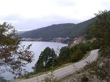
Seven Lakes Route
Seven Lakes Route
- 🚗 110 paved km to San Martín de los Andes
Route 40 heading north passes lakes, viewpoints and trailheads. From the village: Espejo (12 km), Correntoso (27 km), Escondido (55 km), Villarino and Falkner (60 km), Hermoso (75 km) and Machónico (77 km).
View on map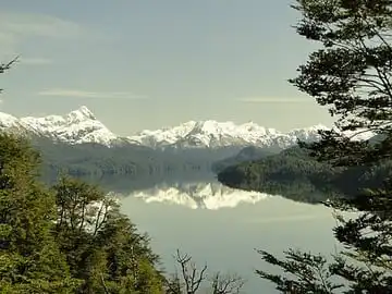
Lake Espejo
- 📍 12 km
- 🍖 Day-use grills and a shop
The first lake on the route, with water so still and clear that it mirrors the sky. It has a beach area, grills (daytime only) and a small shop.
View on map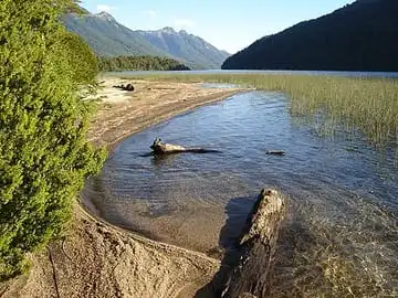
Lake Espejo – Lake Correntoso trail
- 🚶 45 min one way
- 👨👩👧 Family-friendly
- 📅 All year
From the Bahía Guardaparque area (km 2131 of route 40), cross the road and a 1.25 km trail leads to a sandy beach on Lake Correntoso. Perfect for a mate on the beach. No phone signal.
View on map🦆Las Lagunas trails
- 🚶 2 km
- 👨👩👧 Family-friendly
- 📅 All year
It starts a few meters before the Lake Espejo viewpoint, passes Laguna Bullines and looks over Laguna Bailey Willis. You can walk back along the side of the road.
View on map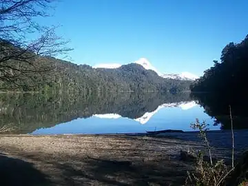
Lake Espejo Chico
- 📍 About 25 km
- ⛺ Campground in summer
The turnoff is a few meters past the Ruca Malén river bridge, along a gravel stretch. There's a campground with a shop in summer, and nearby you'll find the old road bridge and the old Ruca Malén inn, from the 1940s.
View on map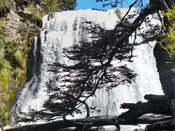
Ñivinco waterfall
- 🥾 3 h round trip
- 📅 November to April
On the Seven Lakes Route, 15 km past the turnoff to Villa Traful. The trail reaches the first drop of the waterfall; you have to cross a river, so bring shoes that can get wet. No phone signal.
View on map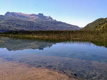
Lakes Villarino and Falkner
Two neighboring lakes, among the prettiest on the route. Next to Lake Falkner there's a campground with restrooms and a shop. For experienced hikers, the climb up Cerro Falkner starts behind the Hostería Villarino.
View on map